705 W. University Avenue
Lafayette LA 70506
Hours: 8:00 a.m. - 5:00 p.m.
Phone: 337-291-7358
Email: CGilbert@LafayetteLA.gov
Contact: (337) 291-5617
Lafayette has a broad range of diverse neighborhoods that contribute to the city/parish community and residential character. As primary places of residence, neighborhoods and housing have a significant impact on residents’ daily activities and are the foundation of a safe, enjoyable community in which to live.
Neighborhood Plans provide more detailed plans for how neighborhoods within the city/parish will accommodate growth and change. PlanLafayette helps clarify how different aspects of the built environment, city-parish systems, and government work together and determine the future growth pattern for the city/parish. Neighborhood Plans provide insight into the visions that existing neighborhoods have for their future. There is a process if your neighborhood would like to be designated (see neighborhood resources below). Please contact the Planning Division for more information.
Through 311 Lafayette, residents can submit service requests and find related information in one, easy-to-access location. This site is currently being used for non-emergency requests and will expand in future phases. For emergencies, or if the issue you are reporting is IN PROGRESS, please call 911 for immediate assistance. Requests submitted after hours, on the weekend, or on a holiday are handled on the next business day. If you do not want to submit a service request, but require more information; please dial the Call Center at 311 or 337-291-8200. Representatives are available to assist you Monday - Friday from 8 a.m. to 5 p.m.
Coteries of Lafayette
Coteries strengthen the community by providing a vision and guidance for neighborhood desires. This designation can also result in the creation of a formal neighborhood plan through LCG.. Anyone who lives, owns property, or owns a business in the designated area should participate in their respective coterie. Click here to view a map of coterie boundaries. Five coteries are currently designated; Freetown-Port Rico, La Place, McComb-Veazey, Oasis, and Quiet Town.
FREETOWN-PORT RICO COTERIE
This neighborhood is a historically significant area northeast of the University of Louisiana at Lafayette, bounded by East University Avenue, Johnston Street, the railroad track, and Pinhook Road. These boundaries encompass several traditional residential neighborhoods that are separated by Jefferson Street, a primary retail street, McKinley Street, a strip that has become home to a series of bars and clubs and bisected by a Southern Pacific Railroad line. Among the residential neighborhoods is "Freetown", an original subdivision called the "Mouton Addition". Prior to the Civil War many freed slaves in Lafayette settled in this subdivision, along with a heterogeneous mixture of lower- and middle-class Caucasians. Over the years Freetown, as it became known, has had residents from various cultures, including, among others, African, Cajun, Lebanese and Middle Eastern, Greek, Spanish, and Irish peoples. As a community, the residents of Freetown took care of each other. They formed an organization called the "True Friends Society" in an effort to protect members of the community from the Klu Klux Klan. In the 1920's, residents gathered at the Good Hope Hall to listen to jazz performers who came to the neighborhood from around the country to perform. African-Americans only were permitted inside the Hall, but a white audience would gather outside to listen to the music. This was truly a unique occurrence in the United States at this time. Historically, Freetown represents the assimilation of diverse cultures into a neighborhood that effectively protected and sustained this diversity.
LA PLACE COTERIE
The La Place Coterie working with the residents and businesses is deeply committed to revitalizing, sustaining and preserving the unique architecture, culture, and history of Lafayette. The neighborhood includes one of the oldest planned and developed neighborhoods of Lafayette called Mills Addition, which was platted on 1856. Other historic areas include: Fightingville, Four Corners, Hopkins Addition, La Place Des Creoles, Promised Land, West End Heights, St. Antoine, and The Block. This is a geographic area within walking distance of downtown, with an illustrious past, an exciting present and a promising future.
MCCOMB-VEAZEY NEIGHBORHOOD
This predominantly African-American neighborhood is one of the oldest neighborhoods in the city, ripe with French Creole culture and deep-rooted heritage. Many of the families in our community have been living in our neighborhood for generations. In 1880, the first railroad entered Lafayette, then known as Vermilionville, creating the first transportation divide separating McComb-Veazey from the urban core. The railroad was not the first dissection of the area, but later in the 1960s, the Evangeline Throughway, I-49 Interstate created an even wider gap. Sanborn maps over those years display a slow dismantling of once thriving, dense, healthy neighborhoods. McComb-Veazey has always been a lively, diverse family neighborhood with markets, bars, homes, churches, and was very much a part of the urban core of Lafayette and the home to many Creole families and musicians. Much of the neighborhood history including the Black Mardi Gras, creole cowboy trail rides, being the late home of the Father of Zydeco Clifton Chenier, and home to creole food and traditions has not been told or shared or celebrated in a grand way.
OASIS COTERIE
With multi-generational living at its core, the neighborhood is commonly referred to as an active area with residents who are committed to community. With homes dating back to the 1970s, Oasis Community Coterie, has experienced development in various parts of the neighborhood for 50 years. The location is just off Interstate 49 and Interstate 10, two major interstates in Louisiana. This transportation corridor frames out the quaint and family-oriented neighborhood. Making it a gateway to the City of Lafayette, Oasis has a unique position with being one of the first areas you see when coming in from major cities such as Lake Charles, Shreveport, or even Baton Rouge. Known areas within Oasis Coterie are Truman, Bayberry Point, and Richter Park. Martin Luther King Jr Drive is the main artery in Oasis connecting residents to key locations; Alice Boucher Elementary, Destiny of Faith Church, El Sid O’s, Martin Luther King Recreation Center, Truman Montessori, and Queen of Peace.
QUIET TOWN
The neighborhood rests to the west of Moss Street from West Pine Street (Northgate Mall) to East Alexander Street. With several generations represented, this neighborhood seeks to develop great quality of life for its residents through cleanliness, beautification, and education. Key locations within the coterie are; Pizza Village, Sts. Leo-Seton Catholic School, R. Martin’s Hair Studio, and Waffle House. The objective of this coterie is to recruit residents to engage in the restoration and uplifting of the neighborhood.
Neighborhood Resources:
Did you know we partner with community impact organizations?

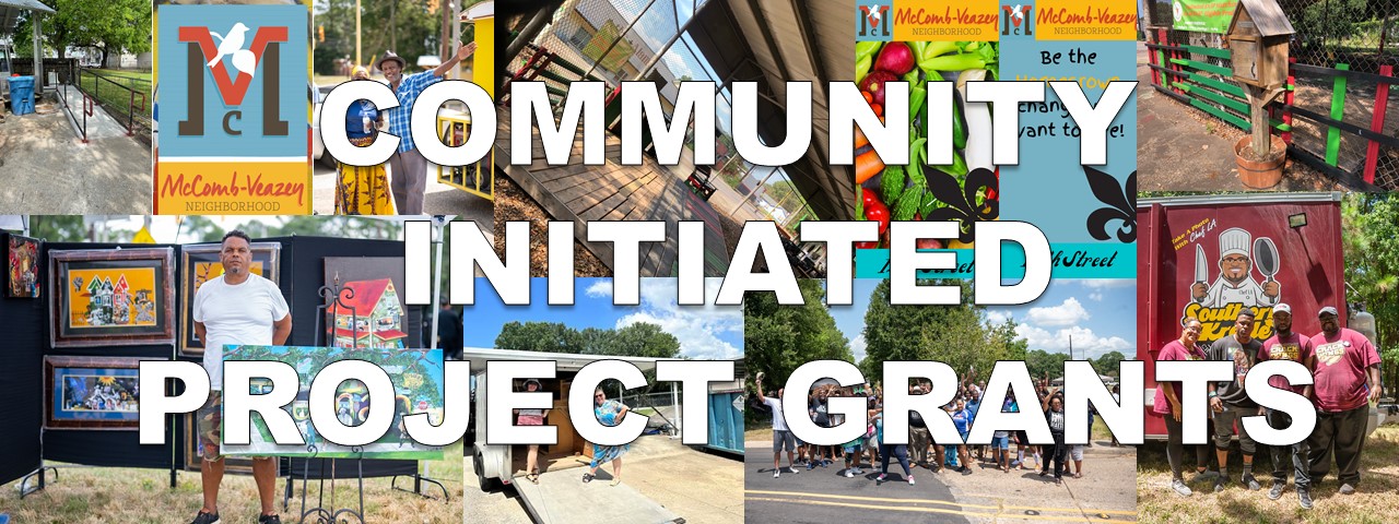
The Community Initiated Project grants builds upon ideas and dedication in the core of our Evangeline Corridor neighborhoods by providing funds to organizations for certain community based projects. Projects submitted through the grant program should be ones that contribute to place making, community pride, cultural history, or recreation. Grants through this program range from $1,000 to $5,000. Applications are accepted annually during the months of October – December (recipients announced in December). This program allows Evangeline Thruway Redevelopment Team to work alongside organizations large and small to help advance the Evangeline Corridor.