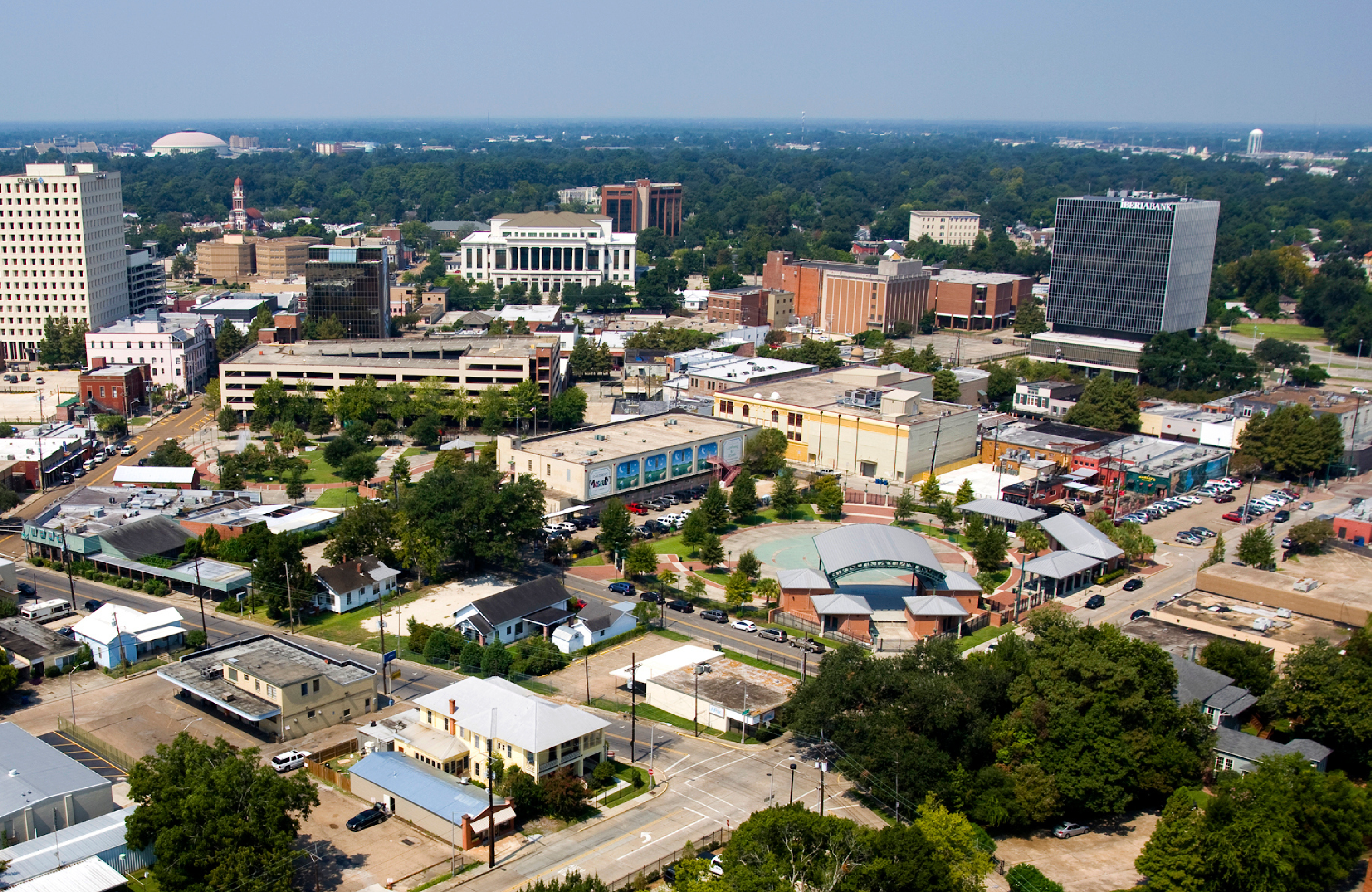
Zoning in Lafayette
The LDC establishes procedures for making land development decisions. In order to obtain a certificate of occupancy, building permit or to subdivide the property, the zoning district must permit the proposed land use and development standards. The city of Lafayette is divided into zoning districts that can be generally categorized by agricultural, residential, mixed-use, commercial and industrial land uses. Each zoning district has a set of permitted and/or conditional uses. The city of Lafayette’s zoning districts are as follows:
“A” – Agricultural
The “A” Agricultural district implements the Rural/Agriculture future land use category of PlanLafayette by creating a district for land use that is principally agricultural or natural in character. The area has low residential densities, and commercial areas are small in scale and either buffered from residential uses or integrated with a conservation design development.
“RS” – Residential Single-Family
The “RS” districts implements the Residential future land use category of PlanLafayette by providing for predominantly detached, single family neighborhoods. The dimensional standards accommodate a variety of densities and lot sizes.
“RM” – Residential Mixed
The “RM” districts implements the Mixed Residential and Residential future land use categories of PlanLafayette by providing for a wide range of housing types, from single-family detached units to apartments. The dimensional standards accommodate a variety of densities and lot sizes.
“MN” – Mixed-Use Residential
The “MN” district implements the Transitional Mixed-Use future land use category of PlanLafayette,
Provides an opportunity to establish neighborhood retail, convenience, service, office, and institutional uses in the Residential and Mixed Residential categories, and
provides a transition between residential areas and more intense commercial corridors.
“MX” – Mixed Use Center
The “MX” districts implement the Mixed-Use Center future land use category of PlanLafayette for centers outside of Downtown. This includes a wide range of commercial, institutional and residential uses, and development design and intensity that supports walkable streets and transportation.
“D” – Downtown
The “D” district implements the Mixed-Use Center future land use category of PlanLafayette. This district provides the highest density and intensity in the city and parish, and preserves the unique character and function of the downtown area.
“CM” – Commercial Mixed
The “CM” districts implement the Commercial/Office future land use category of PlanLafayette. This district provides for compact development patterns and for pedestrian friendly design features. The commercial uses in this district are not as intense as the CH zoning district.
“CH” – Commercial-Heavy
The “CH” districts implement the Commercial/Office future land use category of PlanLafayette. This district allows compact development patterns, but provides flexibility for front parking, loading, and building design features for heavy commercial or service-oriented uses. CH is the most intensive commercial zoning district.
“IL” – Industrial Light
The “IL” districts implement the Office/Industrial future land use category of PlanLafayette by accommodating existing light industrial uses and encouraging new light industrial or office park employment uses in locations designated in the plan.
“IH” – Industrial Heavy
The “IH” districts implement the office/industrial future land use category of PlanLafayette by accommodating existing and future heavy industrial uses.
“PD” – Planned Development
The “PD” district gives the LCG, property owners and developers the opportunity to proceed with development that cannot meet the standards in one of the base zoning districts, and Is consistent with and accomplishes the policies of PlanLafayette, or a strong public need, and provides LCG valid assurances that it will mitigate any anticipated impacts on the general public.
“PI” – Public/Institutional
The “PI” districts are appropriate in any PlanLafayette land use category, and specifically implement the Public Park category. These standards provide flexibility for the wide range of potential public or institutional facilities.
The “MN”, “CM”, and “CH” districts include alternative development types, labeled “A” & “B”. Both are options. Type ”A” is for urban-type development, with reduced landscaping and parking requirements but with increased frontage buildout requirements. Type “B” is for more conventional suburban-type development with more parking requirements and landscaping.
A and B development types are administrative applied and optional. An A development type is only required if the following criteria are met::
o Parking – Any street includes on-street parking or has the capacity for on-street parking.
o Speed Limit – The speed limit is less than or equal to 35 mph.
o Street Classification – All streets are classified as minor arterials or collectors, or are local roads.
o Mix of Uses – There are at least one Residential, Commercial/Mixed-Use, and Public/Civic/Institutional use within a quarter mile of the property.
o Density – There are residential uses other than dwelling, single-family detached within a quarter mile of the property.
o Sites that meet four (4) or more of the criteria above shall be required to use development Type “A” unless otherwise determined by the Board of Zoning. Sites that meet fewer than four (4) of the criteria above may choose either Type “A” or Type “B”.

